

Digitalised water management
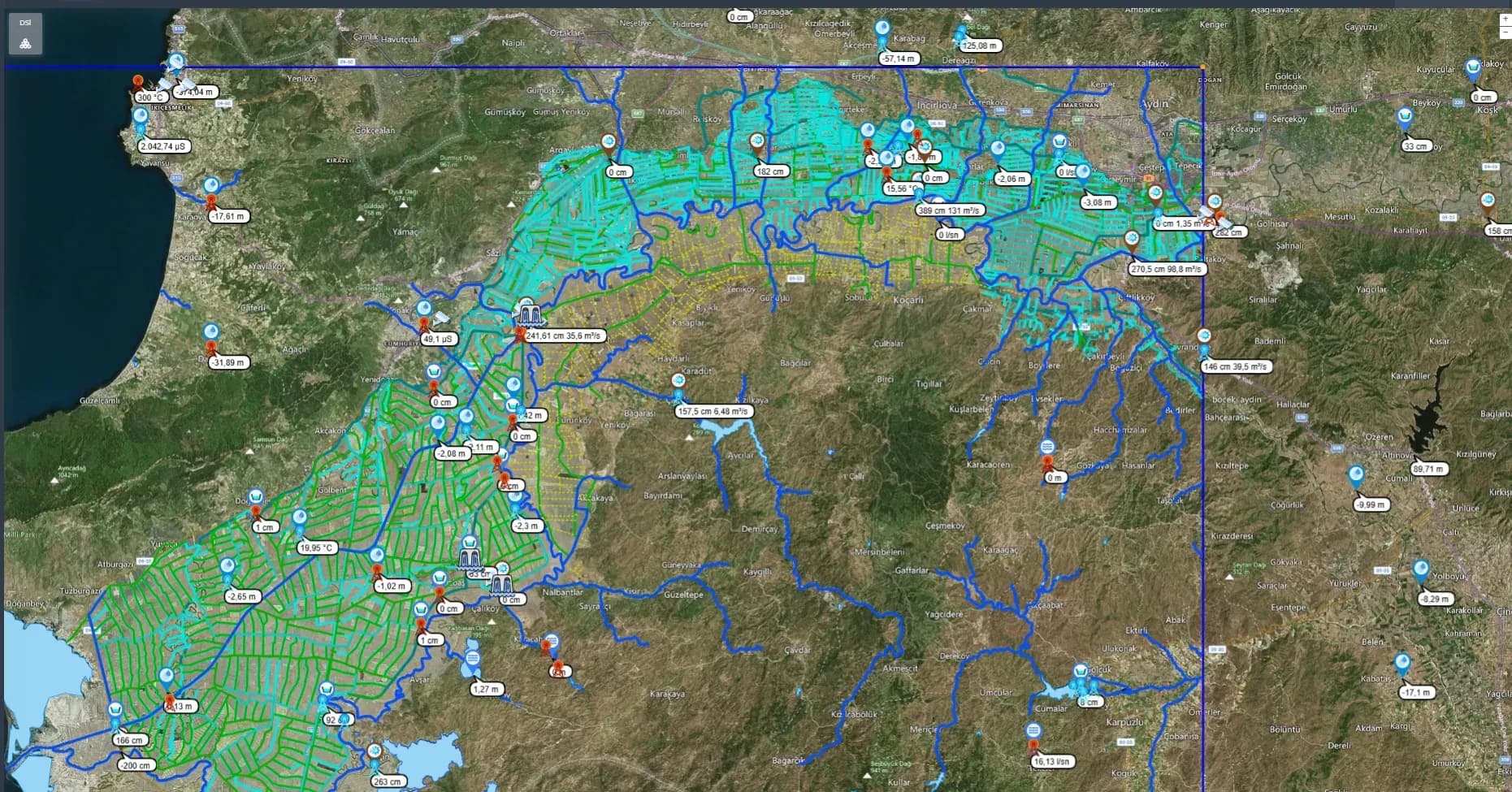
Water management that brings water sources, infrastructure, monitoring stations and automation together on one digital map with ESYS.
ESYS is the main management system where mechanics and software meet: tracking, control, analysis and reporting of measurement data from many categories all live in one database.
Measurement points and parcel data are mapped onto an orthophoto. Regional staff access the system within their role, and canal gate automation and measurement sites work as one. Weather, rainfall and evaporation data feed irrigation and flood planning as it happens.
- Every water asset on one map
- Live GIS-based simulation
- Parcel-level irrigation planning
- Multispectral remote sensing
Projects using this solution
- DSİ 20th Region projectKahramanmaraş · 2026
- Kalecik AI-supported irrigation automationKalecik, Ankara · 2025
- DSİ 6th Region projectAdana, Mersin, Hatay · 2022
- T.E.U.S. flood early warning systemTürkiye · 2022
- Seyitler and Selevir wireless field-edge irrigation automationAfyonkarahisar · 2021
- DSİ 21st Region electronic water management systemDSİ 21st Region · 2020
- DSİ 18th Region water monitoring stationsIsparta, Burdur, Afyonkarahisar · 2020
- Konya Closed Basin groundwater monitoringKonya · 2020
- Bayırköy smartphone-controlled irrigation systemMenteşe, Muğla · 2018
Other solutions
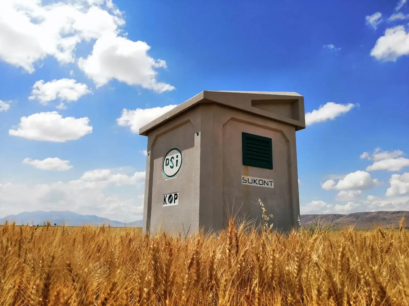 Water measurement facilitiesStations that continuously measure level, flow and quality at dams, canals, rivers, pressure pipes, groundwater wells and drinking water sites, and send it all to one centre.
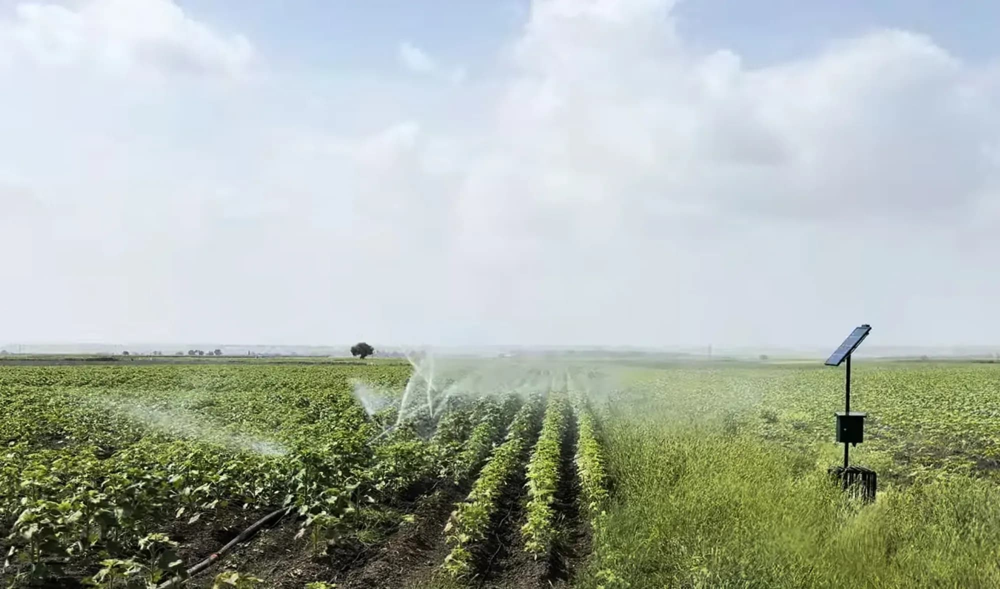 Agricultural irrigation automationCentral irrigation automation that runs on the irrigation plan and water budget and is managed through a hierarchy of roles.
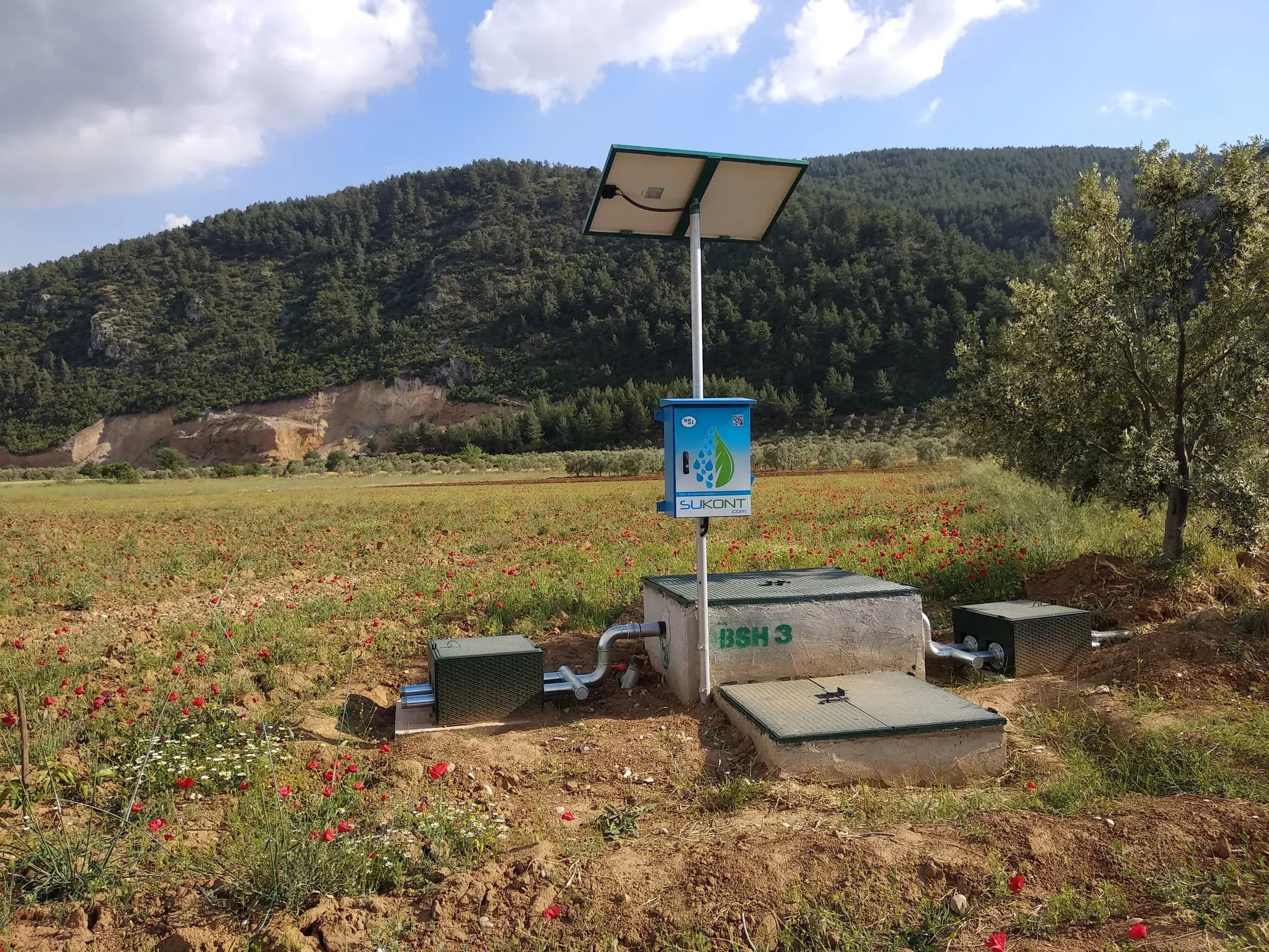 Meter and valve automationAutomation that measures and manages water farmer by farmer, with an ultrasonic meter and remotely controlled valve on every parcel or hydrant outlet.
Will this solution fit your site? Talk to us about a survey and feasibility study.
Contact