

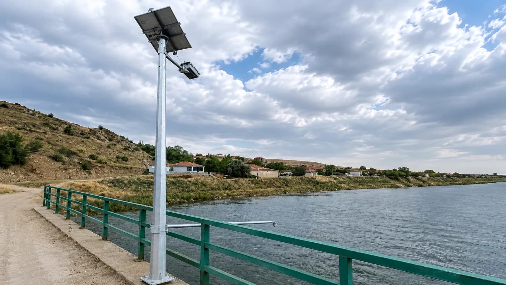
01 · Digital Transformation
Data-driven decisions in water management.
Infrastructure that makes the management of water resources more traceable and efficient through geographic information systems, field data and digital monitoring.
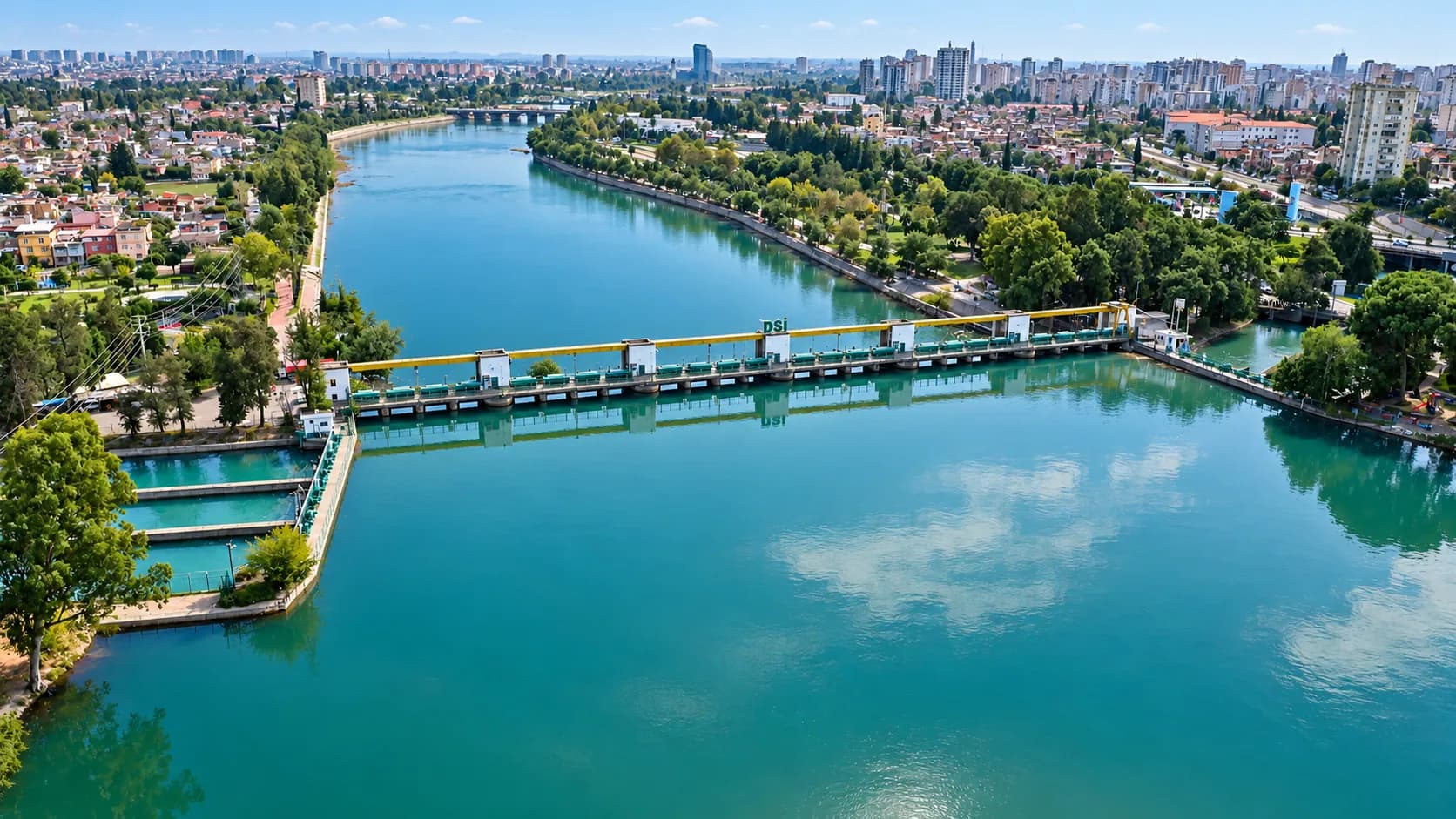
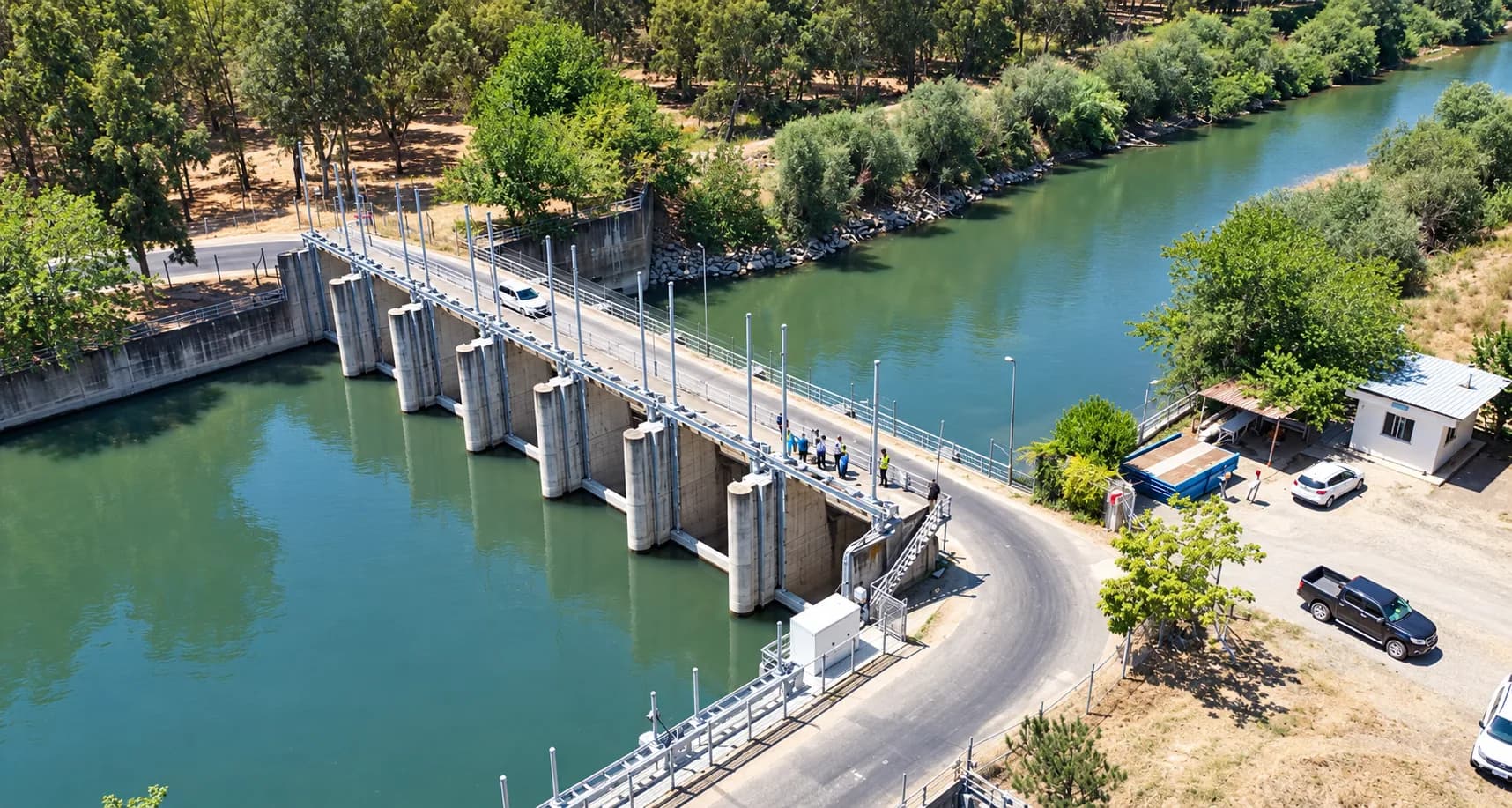
From monitoring stations to canal gates, from field hydrants to satellite analysis, every part is managed from one centre. For DSİ, irrigation associations and private operators.
01 · Digital Transformation
Infrastructure that makes the management of water resources more traceable and efficient through geographic information systems, field data and digital monitoring.
02 · Operational Efficiency
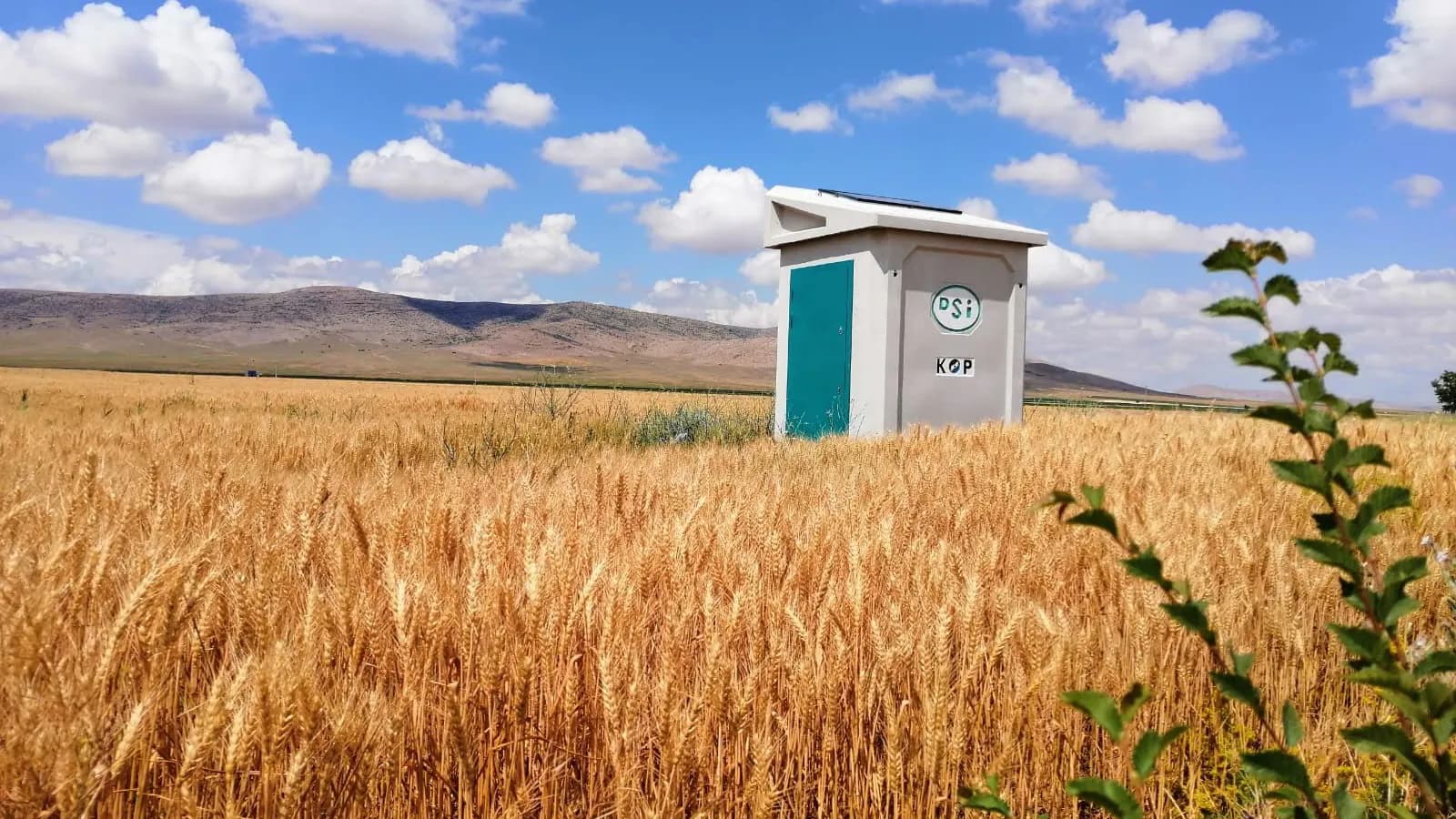
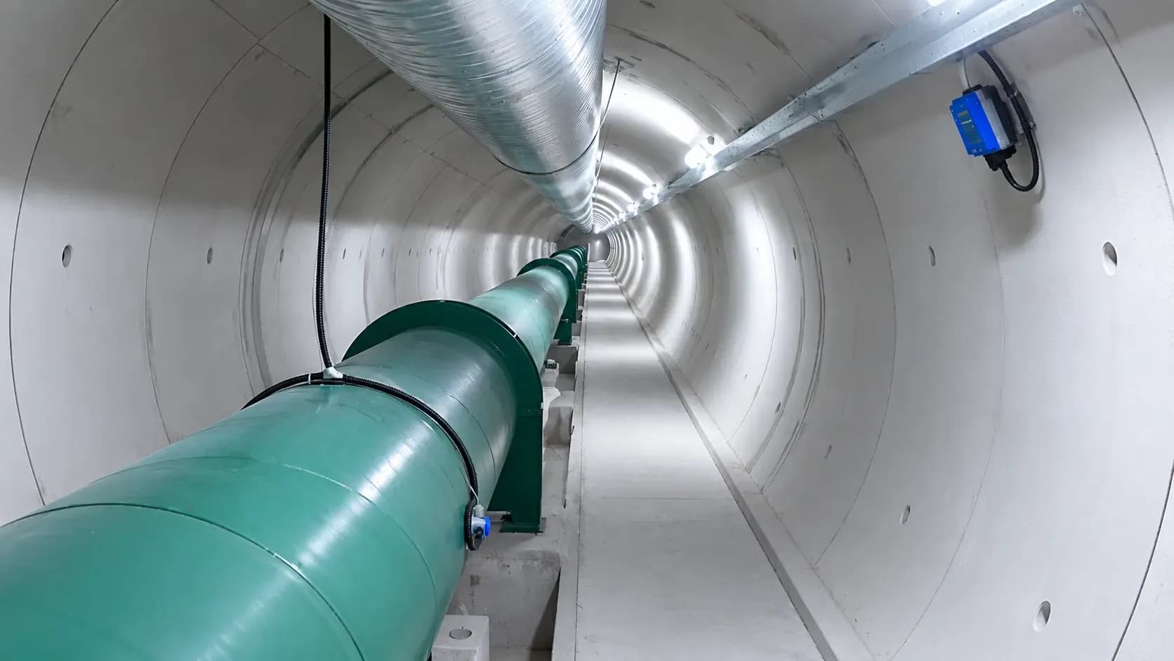
Solutions that integrate measurement and automation infrastructure to make water distribution easier to control and to reduce the operational workload.
03 · Sustainable Water Management
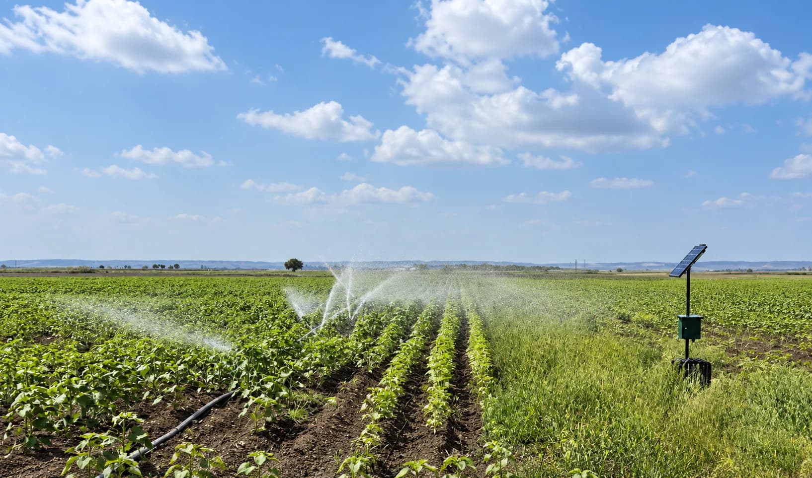
Technologies that support sustainable water management by monitoring water use, evaluating consumption data and managing resources according to need.
04 · Integrated Technology Infrastructure
An integrated approach to water management that brings different measuring devices, field equipment and automation systems together on central software.
On water’s way from its source to the field, a Sukont system manages every step.
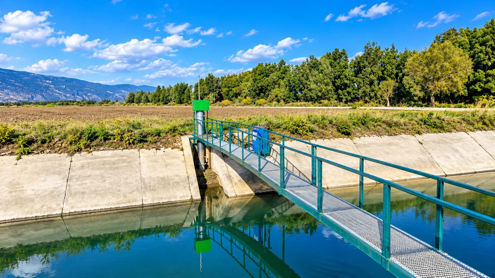
Monitoring stations measure
Level, flow and rainfall data stream from the stations to the centre without interruption. Surface-water flow is measured quickly and reliably with acoustic Doppler.
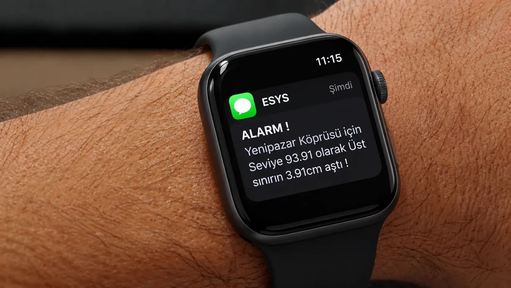
Floods are seen coming
Sudden rises in rivers are reported to the relevant authorities at once, so action is taken before the water arrives.
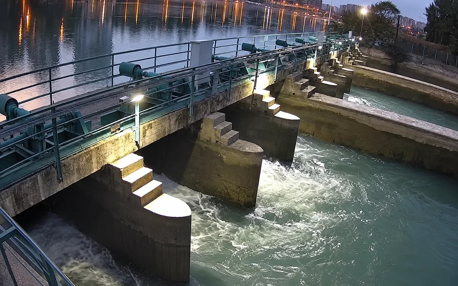
Canal gates adjust themselves
Gates, regulators and valves run remotely, autonomously or semi-autonomously, in step with the monitoring stations.
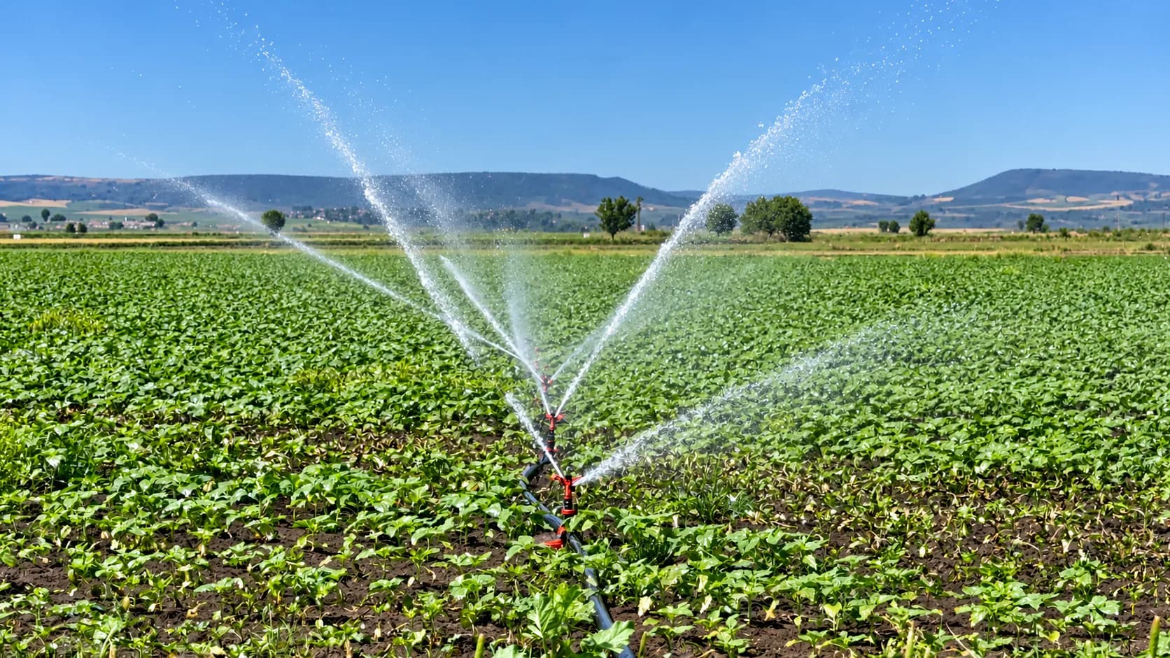
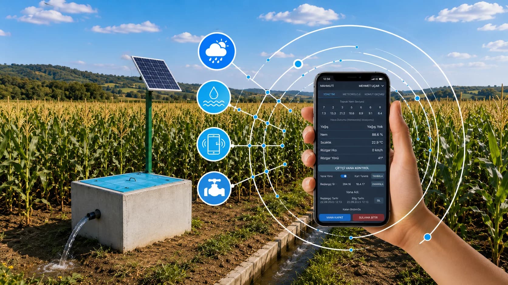
Farmers turn the water on from their phone
Irrigation starts from a phone, with no trip to the field. The mobile irrigation system in Bayırköy won the 2019 best water management award.
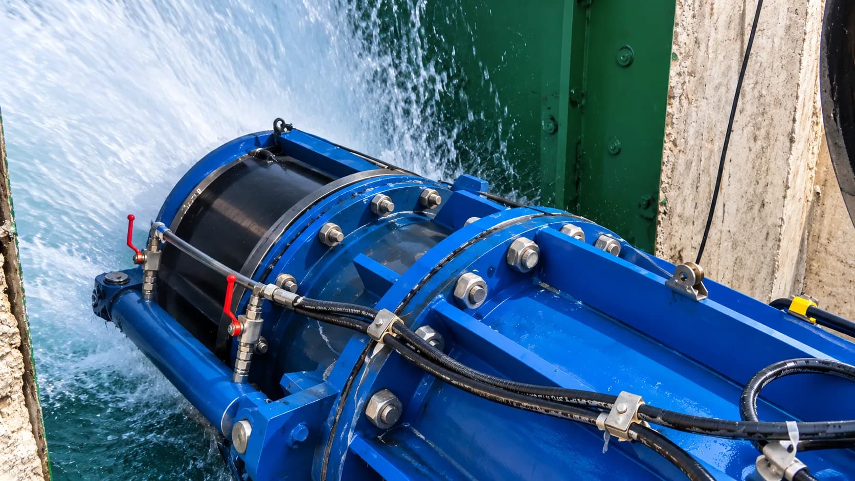
Field hydrants deliver the exact amount
Each farmer’s own intake delivers measured water through a meter and valve. The wireless field-edge system in Seyitler won an award in 2019.
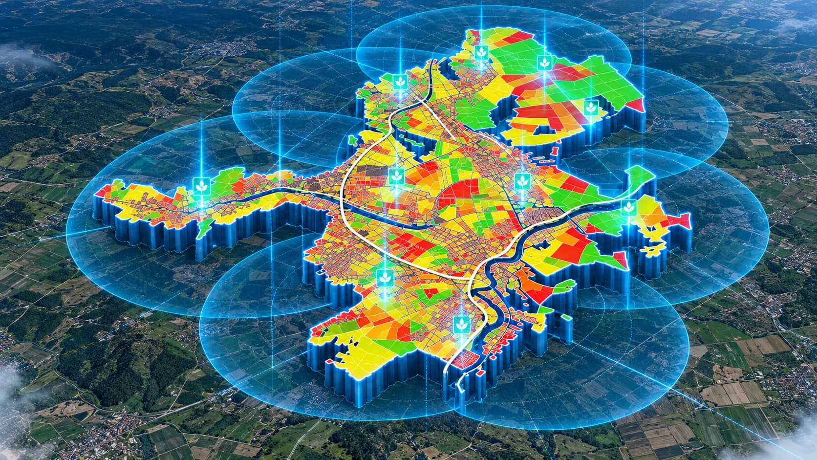
Remote sensing maps the need
Multispectral flights show how much water each crop needs. The orthophoto becomes the system’s control base map.
ESYS runs it all from one centre
Every automation point in the field comes together in a central SCADA. Each user sees and controls only what their role allows.
ESYS
A central SCADA-based water management system that brings measurement and automation points of every kind into one database.
Planning a similar project? Let us assess your site together.
Contact